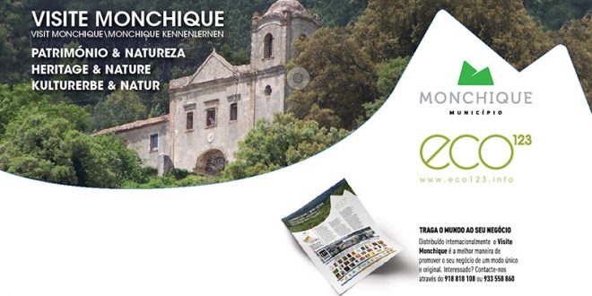
Monchique is well worth a visit. Because people who keep climbing up the ancient cobblestone street in the village generally have one goal in mind: the old Franciscan convent destroyed in the earthquake on 1st November, 1755. On the home straight, the cobblestones turn into a footpath that leads to the ruin, on which the word “FAMILY” is written and in which the family of Vidaul Gonçalves lives. In the middle of the convent, between the crumbling walls, they have put up a fence and have both a chicken run and a fine vegetable garden, which feeds them well. Hikers and visitors passing by on their way to the ruin are often invited by Senhor Vidaul to have a closer look at this rough-hewn gem.
No centro espiritual do antigo convento, o visitante sente-se como numa aldeia museu – mas sem telhado, claro, já que este desabou há mais de 250 anos – e pode também visitar o antigo refeitório, ainda com cobertura. Fica-se com uma noção da beleza original das edificações. A visita é feita à própria conta e risco, pois as paredes podem ruir a qualquer momento. No centro do claustro – intocado pelo terramoto – ergue-se aos céus uma velha magnólia do século 17, uma raridade botânica e árvore classificada. Quem quiser continuar a caminhar, deverá seguir as indicações da „Via Algarviana“ durante mais de cinco quilómetros até ao cume da Foía, a 902 metros de altura, e se o tempo estiver bom terá uma vista panorâmica sobre a paisagem.
Rota dos Moinhos
www.cm-monchique.pt/NR/rdonlyres/D0C9BD9D-9CFB-4384-9231-23F16600FFB5/0/Rota_dos_Moinhos.jpg
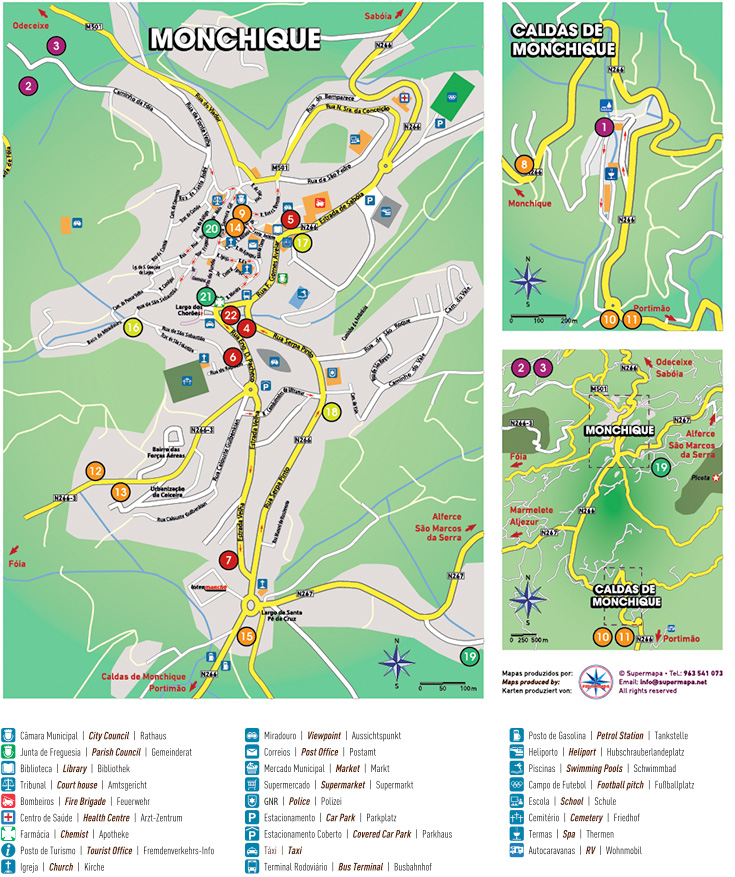
Anyone wanting to visit another of the sights in the municipality of Monchique should take something to eat and drink with them and plan a walk to the watermill of Poucochinhos. The waymarked footpath PR4 is about ten kilometres long. It is the “mill trail” (Rota dos Moinhos), a circular walk that starts at the Largo dos Chorões, opposite the Moorish fountain in the village. There’s a wooden signpost to point you in the right direction. The best preserved, restored and functioning mill is the one in Barranco dos Pisões. You reach it by heading northwest out of Monchique on foot through the hamlet of Peso. At the Junta de Freguesia, the parish council, walkers can arrange a guided visit of the mill in advance. (Tel. 282 912 871\info@jf-monchique.pt)
Rota das Cascatas
www.cm-monchique.pt/NR/rdonlyres/181A06E9-08D7-4749-9428-C1F294278B46/0/Rota_das_Cascatas.jpg
The hike to the waterfalls (Rota das Cascatas) is definitely something for experienced, practised day hikers. The waymarked PR5 is around 20 km long and starts and finishes at the highest point in the Algarve, Fóia. From there, the trail leads down to the “Cascata de Barbelote”, a place with just one resident, the elderly Senhor Marcelino. From there, you keep walking downhill as far as Chilrão, the most westerly and lowest lying point and the turning point on the hike. Another small waterfall awaits you here before the climb back up to Azenha and Choça. Here too, hikers should prepare themselves for the walk with enough provisions and a first-aid kit. They should ensure that they have enough water and sunscreen with them. Despite the wind, the summer sun burns down mercilessly. Owing to the high temperatures, this hike is only recommended between sunrise and just before midday.


 Eco123 Revista da Economia e Ecologia

